Guides
Digitise a floor plan – four routes to an editable file
Digitising does not mean photographing a sheet of paper. A photo is a picture; it can neither be measured nor changed. A floor plan is digitised only when walls, rooms and openings exist as geometry: with a scale, with computed areas, and in a format the next step can read.
There are four routes, and the right one depends on what you hold in your hand. This page walks through all four, says what survives on each route and what does not, and where you should measure again at the end.
Route 1: photo or paper plan
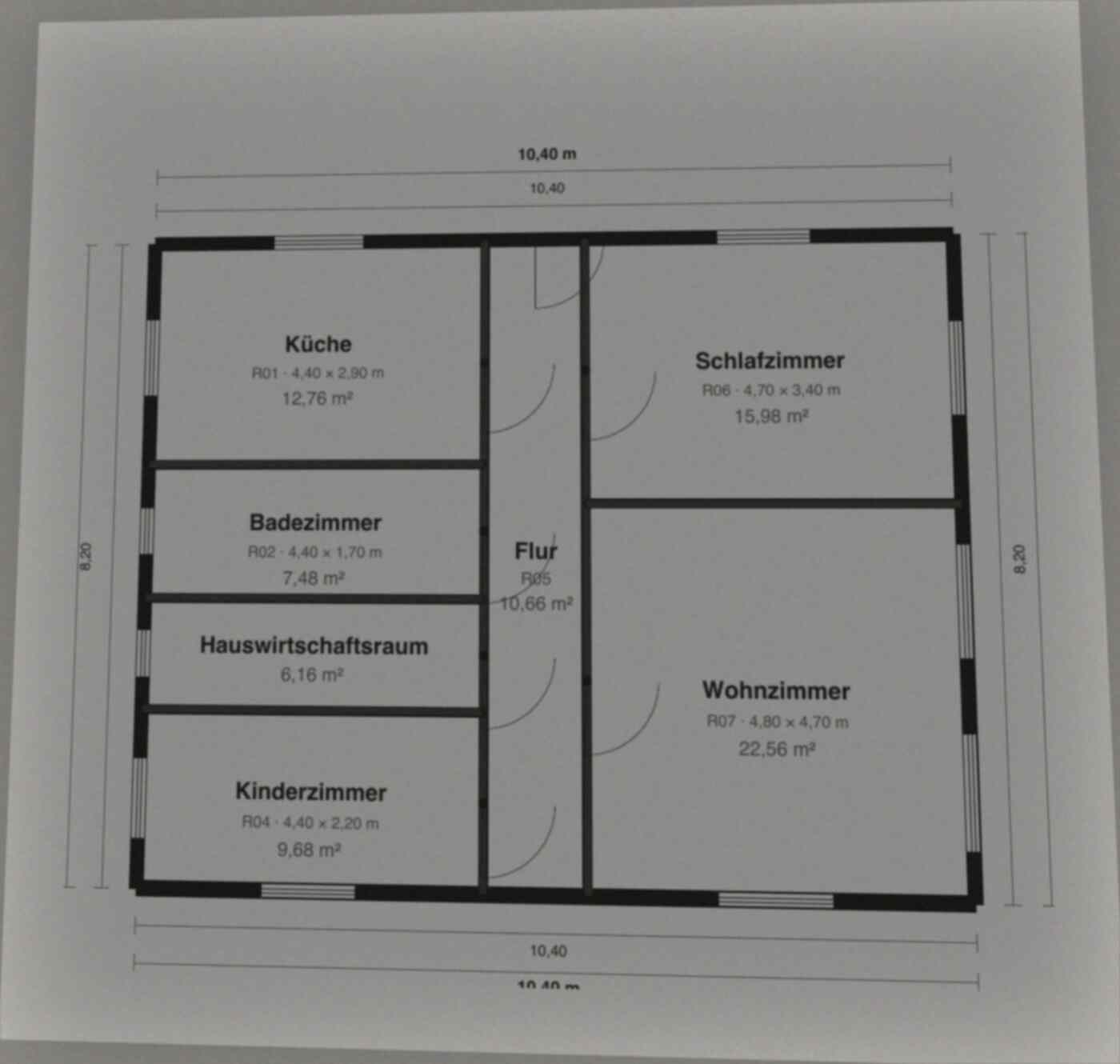
The most common starting point is a photo of a paper plan or an old scan. The import detects the walls, proposes rooms and openings and shows the draft for review. You correct what is structurally wrong and set the scale from one wall length you know or measure.
What survives: the layout. What does not: the dimensions, when the photo carries none. A plan from a photo is therefore a draft, not a survey.
Route 2: PDF
A PDF from the developer or architect is usually cleanly drawn and often carries dimensions. The import reads the drawing as an image; the printed dimensions serve as evidence for the scale. After the import you hold an editable copy that you reduce and label for the listing.
Route 3: iPhone scan
With an iPhone that has a LiDAR sensor the plan is created on site: you walk the rooms, the app detects walls, doors and windows and measures as it goes. The result is to scale from the start and sits in the same account as the web editor after saving.
Limits: mirrors, glass fronts and very narrow rooms confuse the sensor. One check measurement per room is part of the routine.
Route 4: redraw from a template
When only a sketch exists, redrawing is often faster than any import. A template gives you a complete plan that you adapt with the room tool: one drag makes a room, walls join at their edges, areas follow.
What comes out at the end
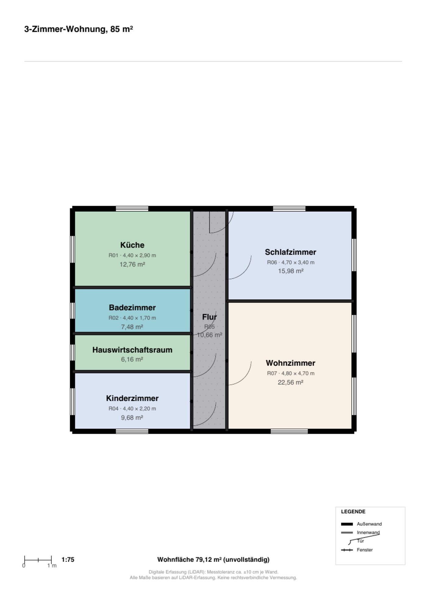
All four routes produce the same file: a vector plan with rooms, areas and openings. From it come the listing PDF, DXF for the planner, OpenImmo XML for the portal or a 3D model. Editing and checking are free; the outputs for listing and portal are part of the subscription.
Frequently asked questions
How accurate is a digitised floor plan?
As accurate as its source. A scan measures itself; a PDF with dimensions is reliable; a photo gives the layout but no dimensions. Check at least one wall length per room before passing the plan on.
Can I digitise a plan without an account?
Drawing, importing and editing work without signing in. Saving to the cloud and exporting need an account.
Which format do I need afterwards?
PDF for the listing, OpenImmo XML for portals, DXF for planners, GLB for interactive views. The same plan delivers all four.